Map the Block › Data › Crime
State and Federal Prisons Map
Where every state and federal prison is, who runs it and how many people it holds.
The map shows 1,021 state and federal prisons. Texas has the most (103), then Florida (85) and Georgia (84).
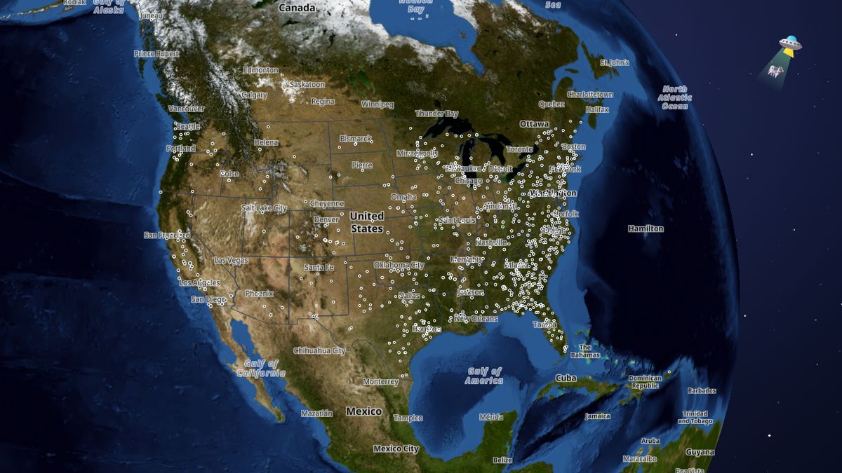 Open the live map →
🏛️Prisons by level
🔒States with the most state and federal prisons
🔎About this data
How many people each prison holds, from each agency's own latest report: the Bureau of Prisons weekly, states monthly to yearly. Bigger circle = more people. Florida, Texas, West Virginia, Missouri, New Mexico and Arizona don't publish counts per prison, so those show capacity. Some states report monthly averages instead of a single day. No individual records are shown.
Source: Federal Bureau of Prisons; each state's Department of Corrections population reports (dates in each popup); locations from agency addresses (U.S. Census geocoder) and OpenStreetMap
Coverage: All federal prisons and state prisons in 47 states (not yet: Nevada, New Hampshire; some prisons in Illinois, Arizona, Georgia and Texas couldn't be placed)
How it was checked: Federal and California counts add up exactly to their published totals, and 36 of 39 states that publish both facility counts and a total match within 1% (the rest are explained gaps such as contract beds). 92% of state prison locations are confirmed by a mapped prison within 3 km.
💬Questions and answers
How many state and federal prisons are there in the United States?
The map shows 1,021 state and federal prisons. Texas has the most (103), then Florida (85) and Georgia (84).
Where does this data come from?
Federal Bureau of Prisons; each state's Department of Corrections population reports (dates in each popup); locations from agency addresses (U.S. Census geocoder) and OpenStreetMap. Coverage: All federal prisons and state prisons in 47 states (not yet: Nevada, New Hampshire; some prisons in Illinois, Arizona, Georgia and Texas couldn't be placed).
Is the map free to use?
Yes. Map the Block is free, with no ads or paywall. You may quote figures with credit to Map the Block (maptheblock.com); for bulk or commercial use there is a Data API.
🧭More maps like this
Keep the map free. Map the Block has no ads and no paywall. Donations pay for the server and the data work.
Numbers computed from the live map data on October 18, 2026. Free to quote with credit to “Map the Block (maptheblock.com)”; see reuse terms.