Map the Block › Data › Food
Free Food Pantries and Meals Map
Where to find a free food pantry or free meal near you.
The map shows 22,897 free food pantries and meal sites. California has the most (1,935), then New York (1,756) and Florida (1,542).
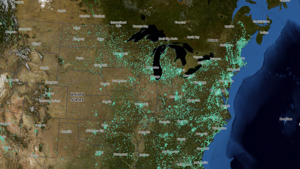 Open the live map →
🥫States with the most free food pantries and meal sites
🔎About this data
Free food pantries, free meal sites, mobile pantries and community fridges (22,897 sites). Hours and days change often, so please call or check the website before you go. Mobile pantries visit on set dates only. Sites only for their own residents, shelters and private homes are left out. Run a pantry that's missing or wrong? Use Give feedback.
Source: Regional food banks' pantry locators; government open data (EPA Excess Food map, state TEFAP lists, city and county portals); The Salvation Army; © OpenStreetMap contributors (ODbL)
Coverage: Nationwide (50 states, DC and Puerto Rico); some cities' food bank lists are still missing
How it was checked: Each source was spot-checked against the pantry's own website or a second list before merging: government lists 76%, food banks 70%, Salvation Army addresses 100%, OpenStreetMap 84%. 3,158 sites appear in 2 or more sources.
💬Questions and answers
How many free food pantries and meal sites are there in the United States?
The map shows 22,897 free food pantries and meal sites. California has the most (1,935), then New York (1,756) and Florida (1,542).
Where does this data come from?
Regional food banks' pantry locators; government open data (EPA Excess Food map, state TEFAP lists, city and county portals); The Salvation Army; © OpenStreetMap contributors (ODbL). Coverage: Nationwide (50 states, DC and Puerto Rico); some cities' food bank lists are still missing.
Is the map free to use?
Yes. Map the Block is free, with no ads or paywall. You may quote figures with credit to Map the Block (maptheblock.com); for bulk or commercial use there is a Data API.
🧭More maps like this
Keep the map free. Map the Block has no ads and no paywall. Donations pay for the server and the data work.
Numbers computed from the live map data on October 18, 2026. Free to quote with credit to “Map the Block (maptheblock.com)”; see reuse terms.