Map the Block › Data › Public safety
Traffic Deaths by County (2024)
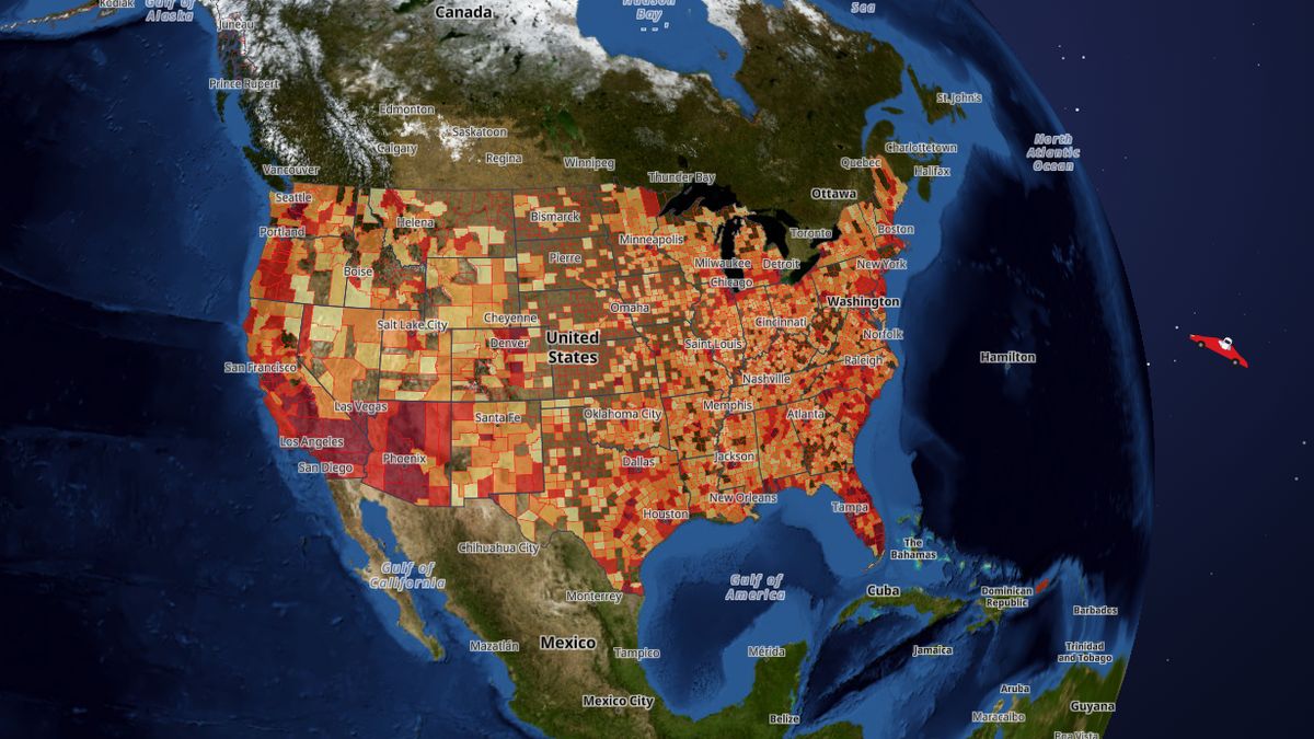
How many people died on the roads in each county in 2024.
Los Angeles County, California has the most, 778 traffic deaths in 2024, followed by Maricopa County, Arizona (596) and Harris County, Texas (583).
 Open the live map →
🚗Counties with the most traffic deaths in 2024
🛑States with the most traffic deaths in 2024
🔎About this data
People killed in traffic crashes in 2024 by county (the popup also gives the rate per 100,000 residents) (federal FARS records). Counties with 1 or 2 deaths show “fewer than 3” and no rate; crash locations are never shown. One year can swing a lot in small counties.
Source: NHTSA Fatality Analysis Reporting System (FARS) 2024; Census population
Coverage: Nationwide (counties)
How it was checked: State totals compared with the states' own counts: Ohio matches exactly (1,157), Texas within 0.3% of TxDOT, Florida within 1.3%.
⬇️Download this data
The first 25 rows of the full file, with all 15 columns, so you can see exactly what you get.
Sample CSVA free key gives you 1,000 calls a month: look up any county, state or address and get every figure on this page.
Get a free keyAll 3,222 rows as CSV or JSON, refreshed when the map updates. Included with the Data API from $19 a month (commercial use from $79).
See plansDataset hazards · full file at /api/v1/bulk/hazards.csv with your key · see the data terms.
💬Questions and answers
Which county has the most traffic deaths in 2024?
Los Angeles County, California has the most, 778 traffic deaths in 2024, followed by Maricopa County, Arizona (596) and Harris County, Texas (583).
How many traffic deaths in 2024 are there in the United States?
The counties on this map add up to 38,044 traffic deaths in 2024. Texas has the most (4,109), then California (3,870). Counts are raw numbers, so large counties rank highest; the map popup also gives the rate where one is published.
Where does this data come from?
NHTSA Fatality Analysis Reporting System (FARS) 2024; Census population. Coverage: Nationwide (counties).
Is the map free to use?
Yes. Map the Block is free, with no ads or paywall. You may quote figures with credit to Map the Block (maptheblock.com); for bulk or commercial use there is a Data API.
🧭More maps like this
Keep the map free. Map the Block has no ads and no paywall. Donations pay for the server and the data work.
Numbers computed from the live map data on October 18, 2026. Free to quote with credit to “Map the Block (maptheblock.com)”; see reuse terms.